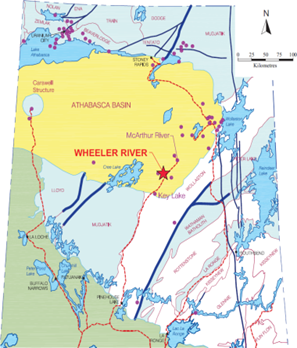
Wheeler River Project , Sask
Title: Deposit Exploration
Geology: Athabasca Uranium Basin
Client: Denison Mines Ltd.
Technology: ORION 3D
Location: Saskatchewan
Sector: Mining
Challenges
The key objective was to accurately map the deep structure above and below the Archean-Proterozoic unconformity. Traditional EM surveys can map conductors below the unconformity and provide information on potential alteration halos around uranium deposits. However, the objective here was to do better, and detect more subtle geological controls important to uranium exploration, such as orientation changes at depth (300 m to 800 m).
Solutions
The ORION 3D DC resistivity survey was deployed over a 2 km x 2 km block. Surveying was completed in 3 weeks. The survey provided a complete 3D cube of resistivity data for interrogation.
Highlights
The 3D survey identified distinct resistivity trends above and below the unconformity. The trends identified in the survey were coincident with foliation as recorded in the drilling. The 3D models successfully delineated the known deposit.
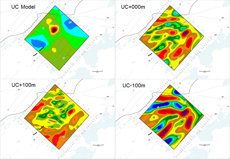
Resistivity level plans above and below the unconformity horizon at 400 metres depth
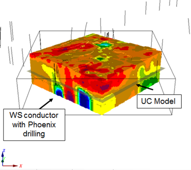
3D resistivity interpretive model created by Denison (blue is conductive)

