

Quantec is please to celebrate 25 years of providing DEEP EARTH IMAGING with the TITAN distributed array based survey technology. […]
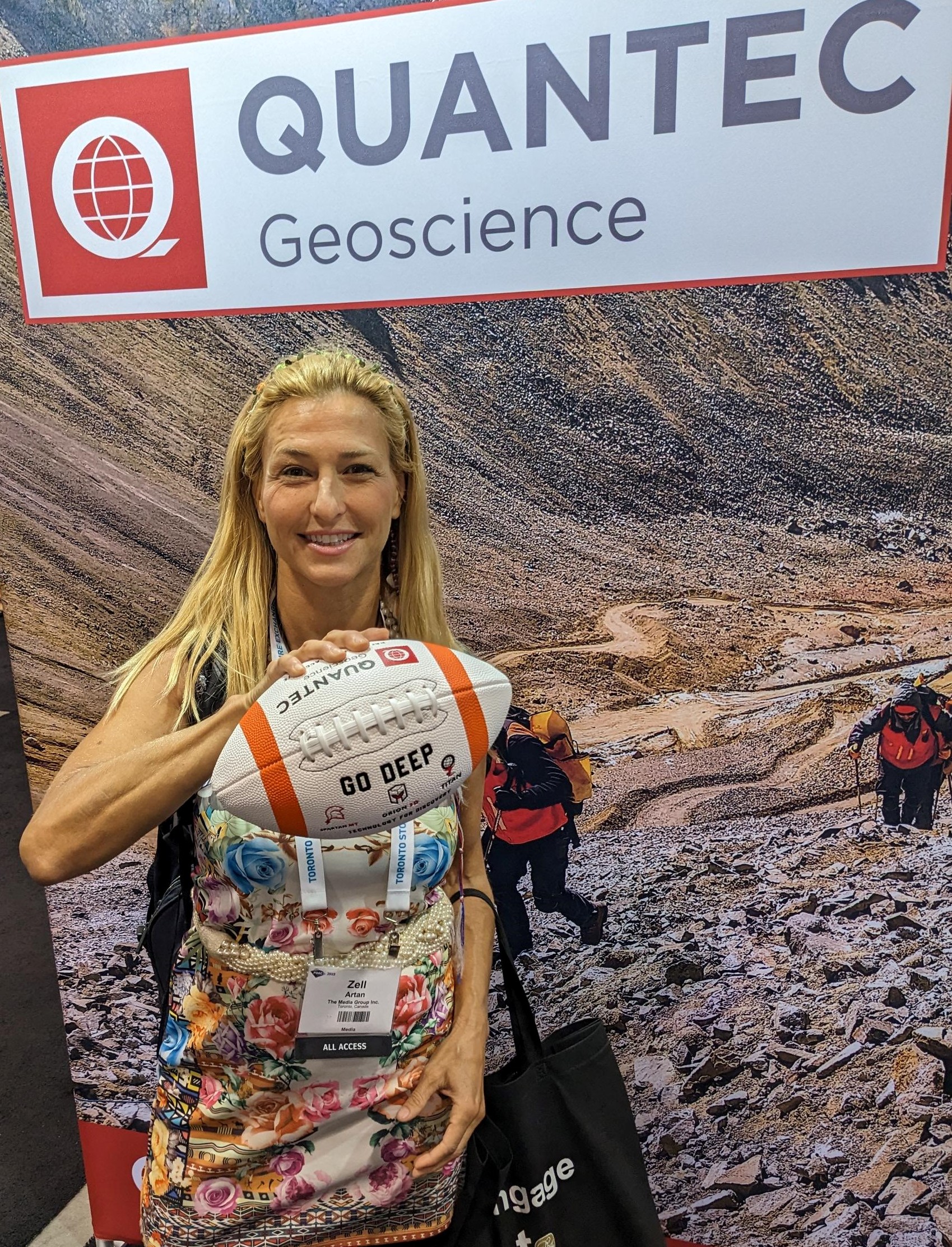
Quantec celebrated a great PDAC. Clients shared success stories and we met a new contingent of potential clients. Quantec’s “GO […]

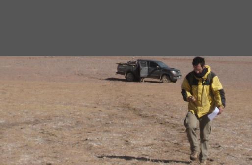
Quantec survey crews continue to perform at exemplary standards
Visit our Virtual Pavilion at the PDAC March 8 to 12, 2021 A team of experts will be there to […]

July 30, 2020 Hi Ryan, Thank you for the billing summary, it looks good to me. It was […]
Quantec presents “Geophysical Exploration in Lithium Salars” by Dr. Leduar Ramayo and Juan Pablo. Download the Presentation
Visit our Pavilion 1323 at the PDAC March 1 to 4, 2020 Quantec is celebrating 20 Years of supplying Deep […]

Dec 3 – 6, 2019 Visit our booth #659, to discuss your exploration targeting. Ben St-Onge, geoscientist and Rob Gordon, […]
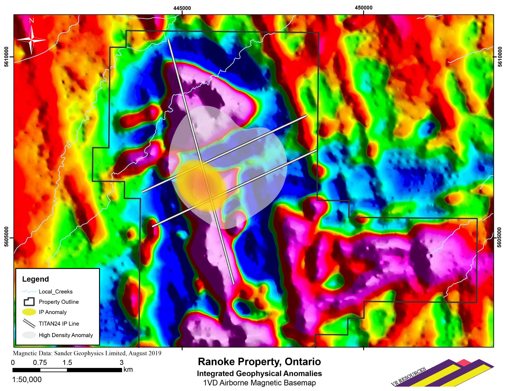
September 17, 2019, Vancouver, B.C.: VR Resources Ltd. (TSX.V: VRR, FSE: 5VR; OTCBB: VRRCF), the “Company”, or “VR”, is pleased […]