 https://quantecgeo.com/wp-content/uploads/2024/11/PXL_20241115_193253397.jpg
1512
2016
Webmaster
http://quantecgeo.com/wp-content/uploads/2023/03/Quantec-Official-2017-Logo-clear-Horizontal.png
Webmaster2024-11-19 19:04:162024-11-19 19:05:03Ryley Killam delivers talk on deep imaging technologies in Calgary
https://quantecgeo.com/wp-content/uploads/2024/11/PXL_20241115_193253397.jpg
1512
2016
Webmaster
http://quantecgeo.com/wp-content/uploads/2023/03/Quantec-Official-2017-Logo-clear-Horizontal.png
Webmaster2024-11-19 19:04:162024-11-19 19:05:03Ryley Killam delivers talk on deep imaging technologies in CalgaryLatest News
Why Quantec Geophysics?
Drill Programs: are more efficient when conceptual geological targets are imaged first. Deep geophysical imaging starts with logistical expertise and relies on best in class geophysical technology to ensure the most accurate imaging. Multi-parameter deep DCIP & MT imaging provide enhanced and improved drill targeting.
Clients Say: they have reduced exploration risk and enhanced drilling returns to create more successful drill programs by doing Quantec Geophysical surveys first.
Geophysical Services
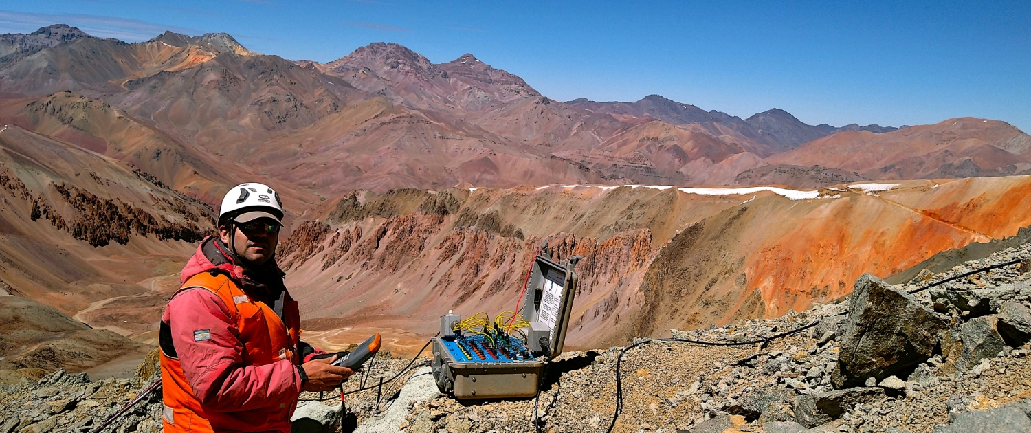
Geophysical Surveys: for rugged, remote, hard-to-reach areas and harsh climates. We can help design a targeting approach. Quantec carries out most Geophysical Surveys Globally.
Technology: Leading technology for accurate earth imaging. Quantec leads the industry with multi-parameter deep geophysical tools for drill planning. By deploying (ORION 3D & ORION Swath, TITAN, SPARTAN MT) you have a better chance of discovery then by drilling alone. Target your drilling, find out how.
Clients Like You use Quantec Geophysics
Mineite Imaging: Utilise our deep imaging technology to help your minesite and brownfield exploration strategies.
Multiple commodity applications: From Lithium to Copper and Nickel, Gold, Platinum and Uranium, we have global multi-commodity experience with our technology.
Geothermal Exploration: target the reservoir and design well plans optimally.
Geophysical Imaging TECHNOLOGY FOR DISCOVERY
SPARTAN MT
Flexible mapping solutions from surface to depth. Full tensor magnetotellurics resistivity imaging is excellent for regional surveys, remote regions, porphyry exploration and deep near mine exploration.
TITAN
The first commercially available Deep Earth Imaging multi-parameter distributed geophysical system, providing 2D DCIP & MT data (near surface to 2000 m deep). TITAN 24 was introduced in 2000. 20 years of proven success. Quantec now introduces TITAN 130 IP and TITAN 160 DCIP and MT for the most sophisticated 2D deep imaging surveys. TITAN will continue to lead deep exploration efforts and geophysical discoveries.
ORION 3D
For complex geological environments, ORION is the only technology designed to simultaneously collect omni-directional DCIP data for REAL 3D acquisition. Deep high resolution MT contributes to the most accurate images of the subsurface possible today.
Built off the success of our 2D TITAN system, ORION 3D offers the most cost effective drill planning and contributes to a greater likelihood of drilling success.
Now ORION Swath offers a practical way to achieve near 3D results with an innovative way to collect DCIP data with multichannel receivers deployed with orthogonal dipoles.

