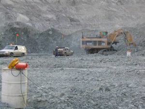
Survey completed through open pit operations
Title: Deposit delineation
Geology: Kimberlite
Client: De Beers
Technology: TITAN 24
Location: Africa
Sector: Mining
Challenges
The client wanted to map the side walls of a kimberlite pipe at an actively producing diamond mine, and if possible identify a geophysical response to facies changes within the kimberlite.
Solutions
The TITAN MT distributed system was deployed right through the active pit. Deep MT resistivity information was provided and added to a GOCAD model for interpretation and investigation. Information was provided to a depth of 800 metres.
Highlights
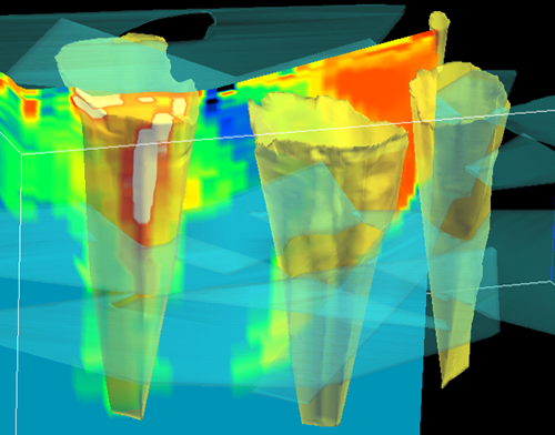
MT resistivity model defined kimberlite boundary to within 25 metres to a depth of 800 m
Constrained inversions of the deep resistivity data provided compelling evidence that the side walls of the pit were not simply vertical. Pit walls were mapped to +/- 25 metres accuracy. Resistivities were found to relate to varying facies of kimberlite, providing geological insight.

