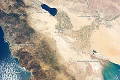
Salton Trough, California
Title: Deep resistivity study
Geology: Salton Trough
Client: Ram Power
Technology: SPARTAN MT
Location: California, USA
Sector: Geothermal
Challenges
To assist large budget drill targeting decisions in a timely manner, a resistivity model to 5 km depth was required to provide a better understanding of the hydrothermal systems (e.g. size, depth and shape) present.
Key objectives of the survey were:
- Image the subsurface location and geometry of buried or concealed faults or structures, and their associated fracture zones, that could control reservoir flow and circulation;
- Compare the resistivity structures inside and outside of the inferred resource or field boundaries;
- Map the basin to gain a better regional picture.
Solutions
The MT resistivity method provides resistivity information from surface to depths beyond several kilometres, depending on frequencies and ground resistivities. The MT resistivity is useful for mapping geological contacts with resistivity contrasts and deep conductors that may potentially represent alteration or mineralization.
Highlights
Quantec’s team of MT experts provided deep imaging with the proprietary SPARTAN MT system. Plan maps created between 500m through to 3500m depth provided a geological model supporting the presence and location of viable heat reservoirs. Key project objectives were met, leading to the approval of the drill program and the location of drill targets at depth.
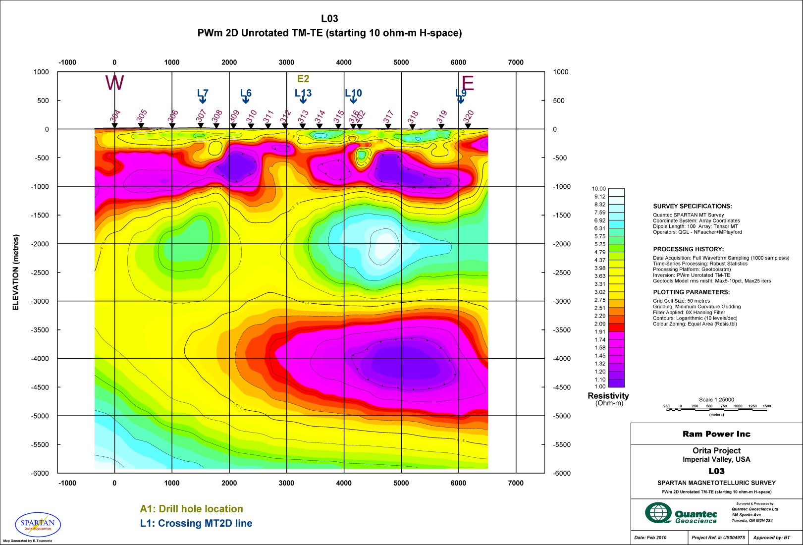
Resistivty section shown to 6000 metres
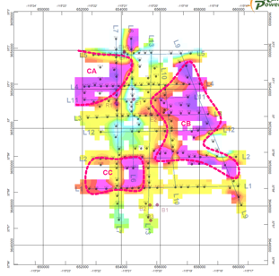
Level plan

