

40 years is a long time! Our history has its roots in adventure, exploration and discovery! Visit our history page […]
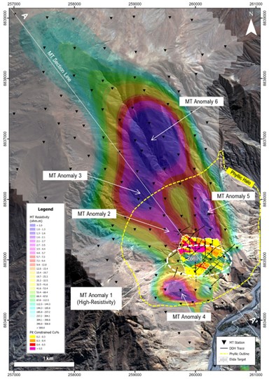
Excerpts from July 2025 press and January 2026 Element 29 Identifies Multiple Large Untested MT Geophysical Anomalies at Elida Porphyry […]
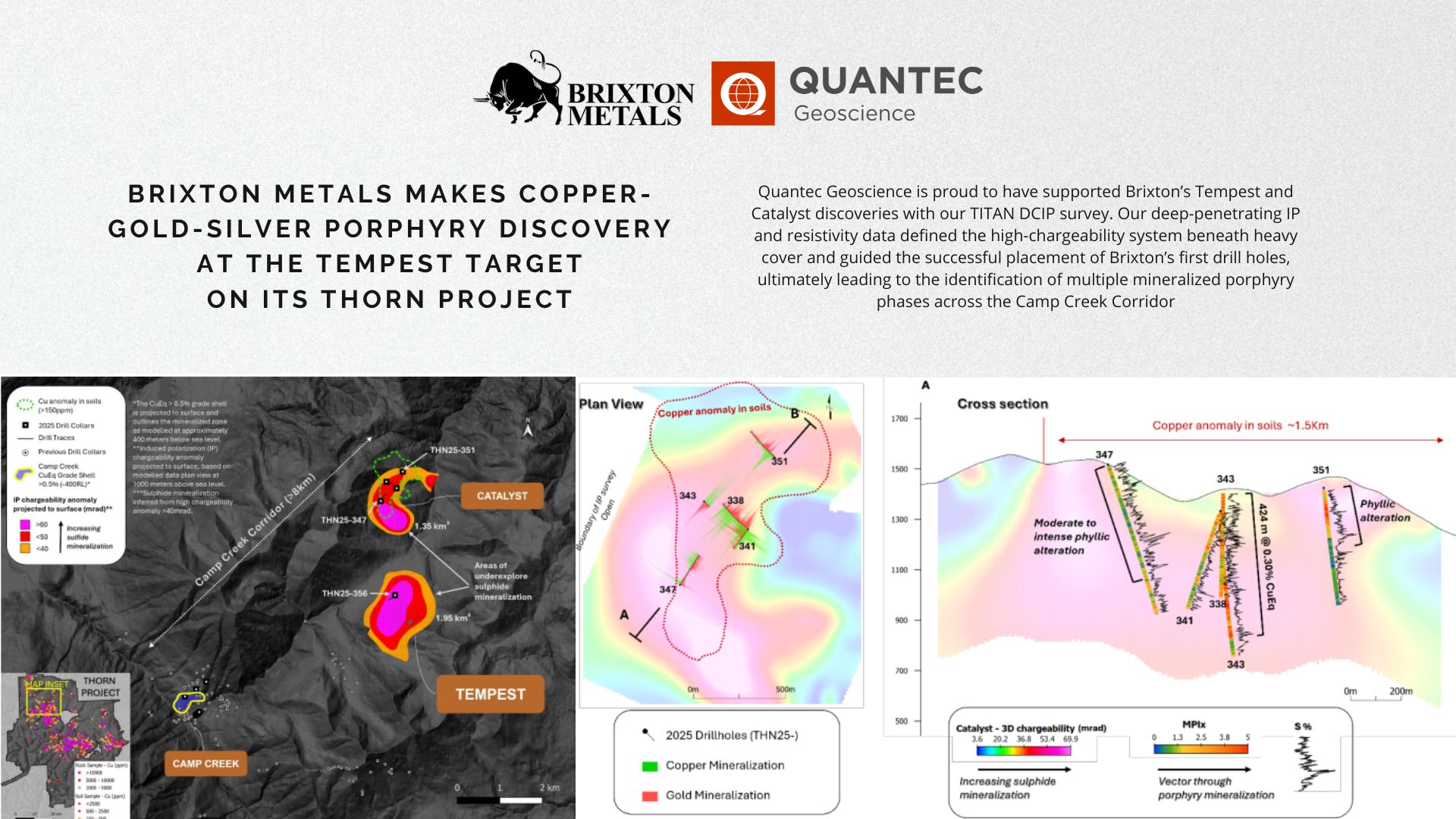
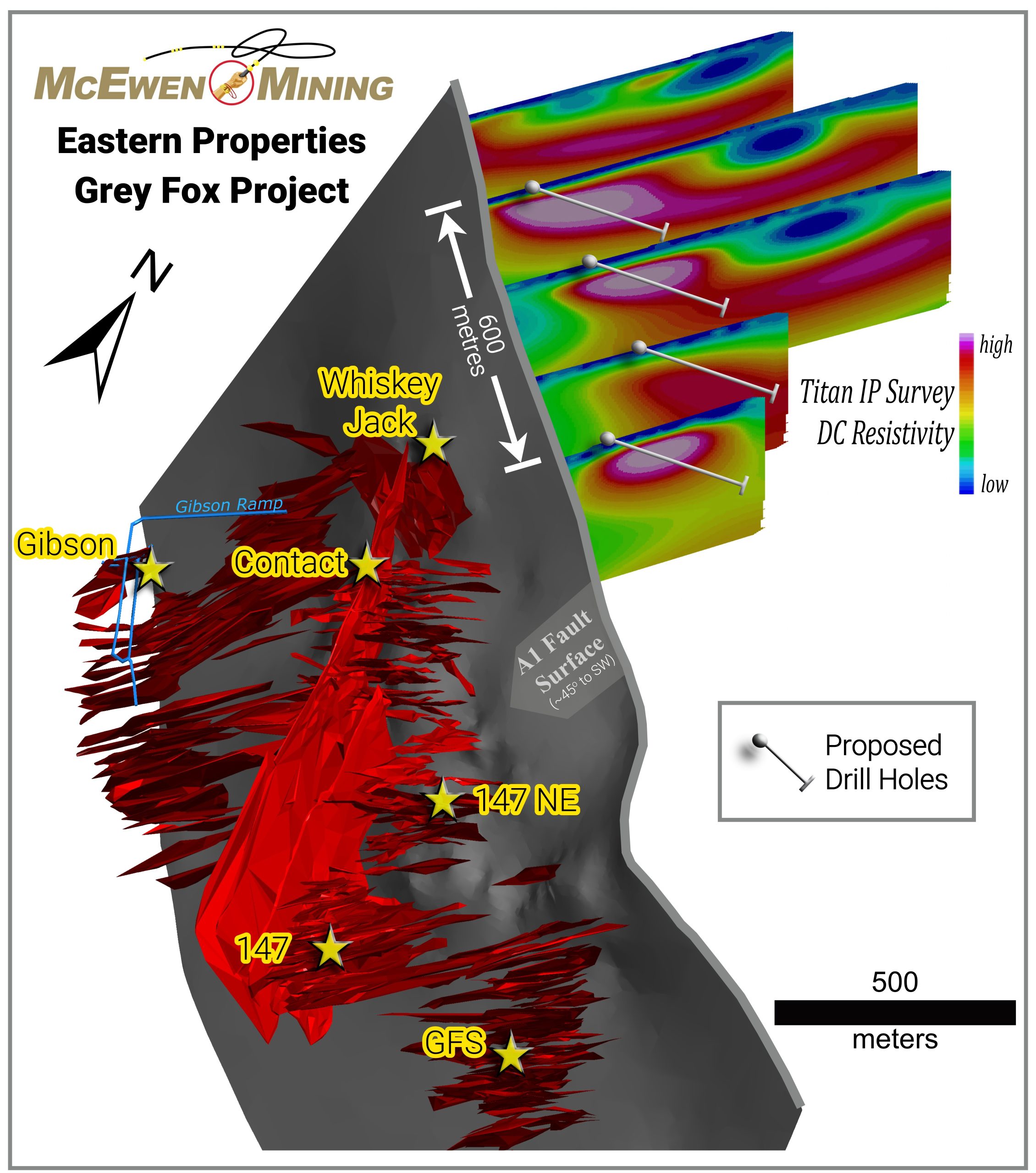
Congratulations to Brixton Metals Corp. (BBB.V | BBBXF) on the Tempest porphyry discovery. Quantec is pleased to see drilling validate […]
Join Quantec’s Geophysical Webinar Series on October 31st, 1pm-2pm EST! A free and comprehensive introduction to geophysical methods for mineral […]
🚨 Exciting News from Quantec Geoscience! Join our very own Rob Gordon P.Eng., at CIM Connect 2025 as he presents on deep magnetotelluric resistivity […]
🎯 Quantec Geoscience is heading to the Discoveries 2025 Mining Conference in MAZATLÁN, SIN. MX! Join us as exhibitors at […]
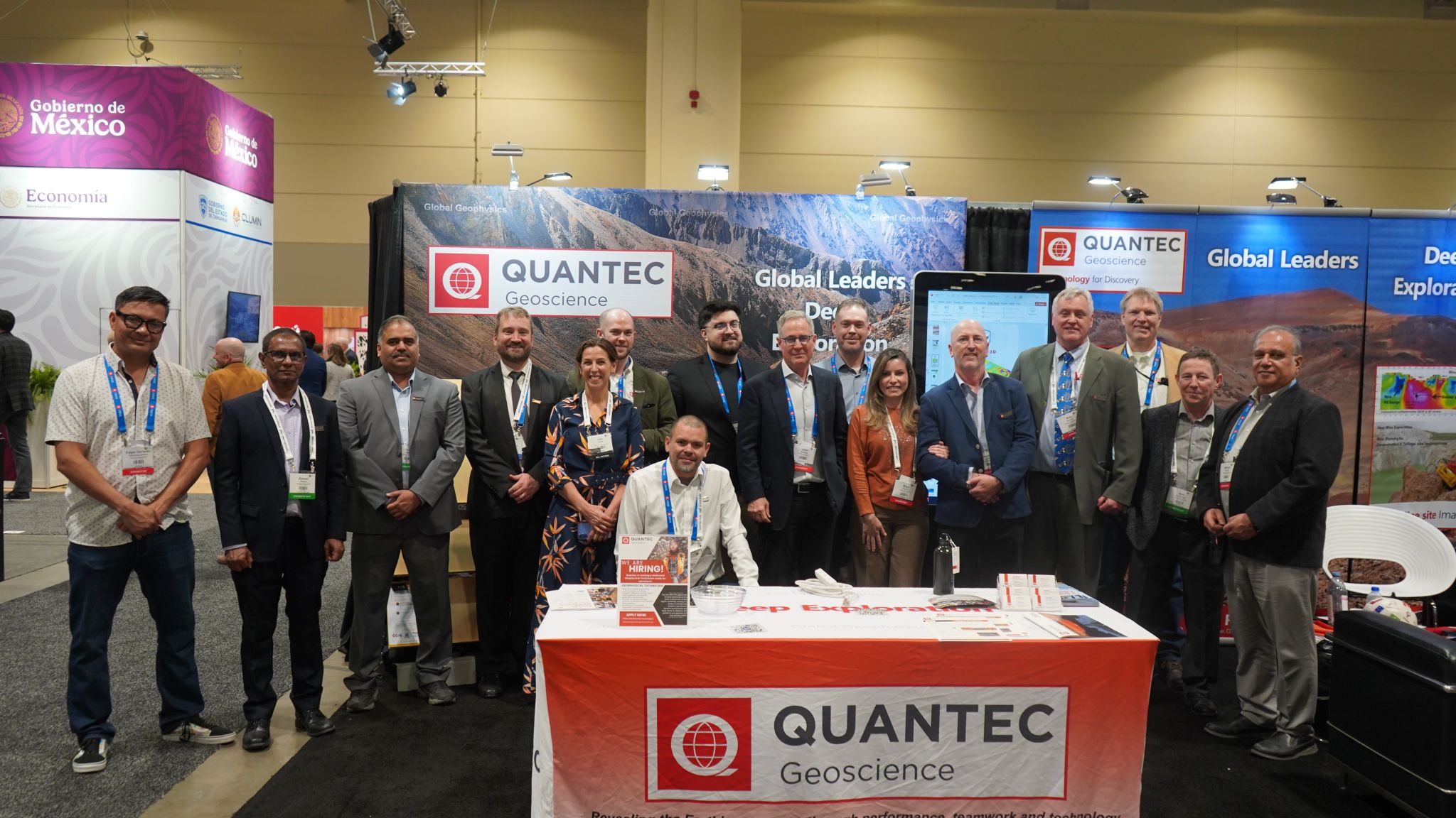
This year at the PDAC, welcomed a record-breaking 32,155 participants from around the world, marking the highest attendance in the […]
Deep Ground-based geophysical surveys TITAN DCIP & MT – Direct Current Induced Polarization (DCIP) and Magnetotelluric (MT) have been recently […]
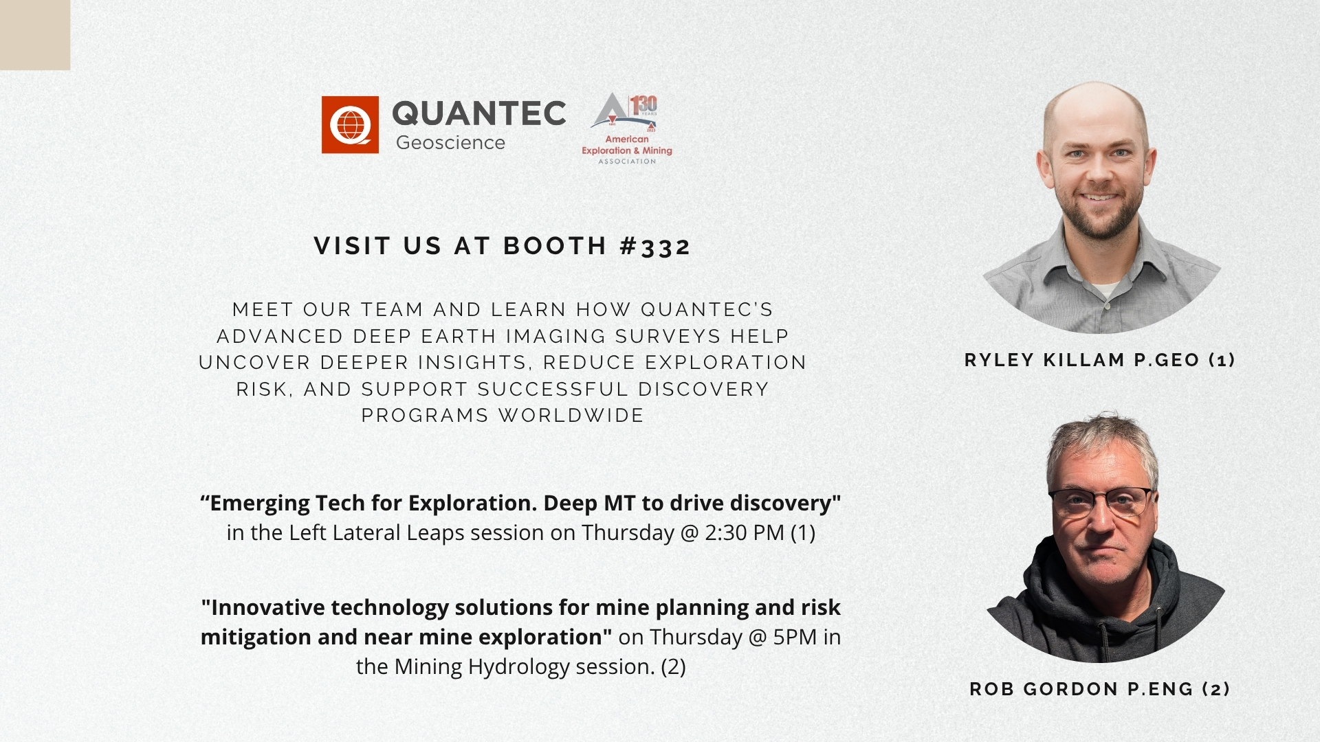
We’re excited to announce that Quantec Geoscience will be exhibiting and speaking at the 2025 American Exploration & Mining Association (AEMA) Conference in Reno, December […]
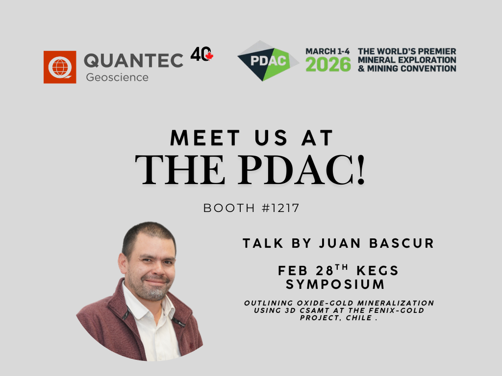
We are happy to annouce that Quantec Geoscience Ltd. Will be attending the annual PDAC! Come visit our booth #1217 […]