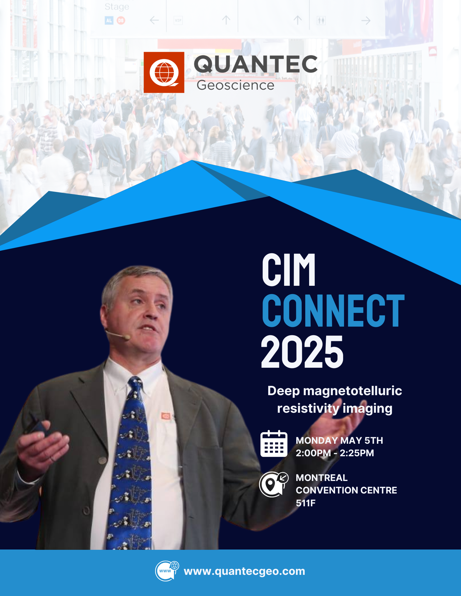
🚨 Exciting News from Quantec Geoscience! Join our very own Rob Gordon P.Eng., at CIM Connect 2025 as he presents on deep magnetotelluric resistivity […]
🎯 Quantec Geoscience is heading to the Discoveries 2025 Mining Conference in MAZATLÁN, SIN. MX! Join us as exhibitors at […]
Deep Ground-based geophysical surveys TITAN DCIP & MT – Direct Current Induced Polarization (DCIP) and Magnetotelluric (MT) have been recently […]
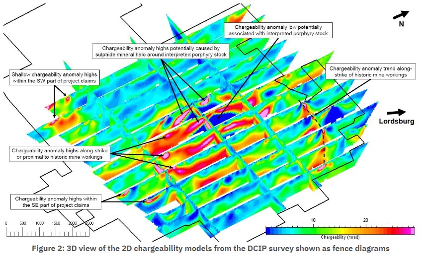
American Copper Development Completes 134 line-km Titan 160 DCIP and MT Survey Over the Lordsburg Property, New Mexico CSE: ACDX […]
Quantec presents “Geophysical Exploration in Lithium Salars” by Dr. Leduar Ramayo and Juan Pablo. Download the Presentation
Visit our Pavilion 1323 at the PDAC March 1 to 4, 2020 Quantec is celebrating 20 Years of supplying Deep […]

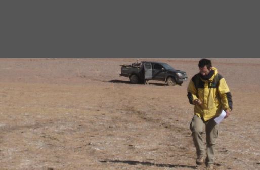
Dec 3 – 6, 2019 Visit our booth #659, to discuss your exploration targeting. Ben St-Onge, geoscientist and Rob Gordon, […]

(Sept 16-20) Robert Gordon recently presented “Emerging deep penetrating technologies for Exploring under cover”. Visit “Reference” section on website to […]
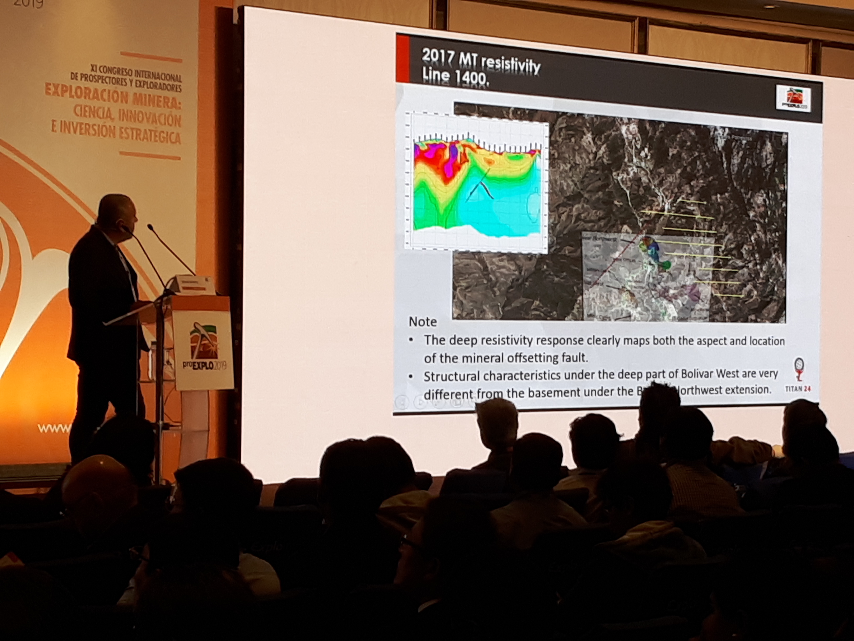
Correlations in geological model and Titan 24 DCIP_MT at the Bolivar skarn mineralization, Mexico Download Presentation